If you're buying property, planning construction, or settling a boundary dispute, a land survey in Texas is one of the most important steps you can take. Texas is a large and diverse state with a rich history of land use, and understanding the exact boundaries and features of your land is essential for making informed decisions.
This guide breaks down what land surveys are, why they're needed in Texas, the different types available, and how the process works.
What Is a Land Survey?
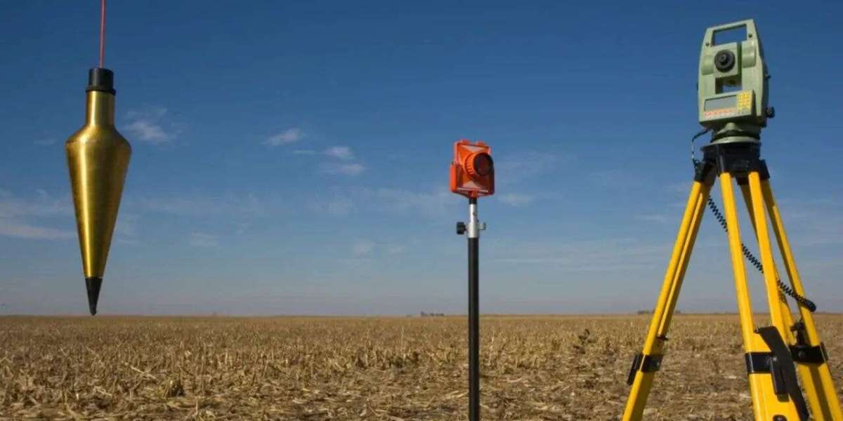
A land survey is a professional service that determines the legal boundaries, dimensions, and features of a piece of land. It’s performed by a licensed surveyor using a combination of tools, including GPS, total stations, and historical land records.
In a state as large as Texas—home to over 171 million acres of land—property boundaries can become unclear over time. That’s where land surveys come in. They provide a legally recognized map that can be used for deeds, permits, construction plans, and even court cases.
Why You Need a Land Survey in Texas
Getting a land survey in Texas isn’t just about measuring property lines—it’s about protecting your investment. Here are some common reasons Texans order land surveys:
1. Buying or Selling Property
Before closing on a property, most title companies and mortgage lenders require a Land Survey in Texas. It ensures there are no encroachments, zoning violations, or boundary disputes.
2. New Construction or Renovation
If you're building a house, installing a fence, or adding a garage, you’ll need a land survey to determine the correct setback lines and avoid building on someone else’s land.
3. Resolving Boundary Disputes
Neighbors often have differing opinions about where property lines lie. A licensed land survey can legally establish the boundaries to resolve these conflicts.
4. Subdividing Land
In Texas, subdividing a large parcel into smaller lots for sale or development requires a professional survey to meet local and state regulations.
Types of Land Surveys in Texas
Not all surveys are the same. Depending on your needs, you may require one of the following:
Boundary Survey – Defines the exact property lines.
Topographic Survey – Shows elevation, slopes, and natural features.
ALTA/NSPS Survey – Used in commercial real estate; includes detailed information about property improvements, easements, and access.
Construction Survey – Guides contractors by marking reference points for building.
Subdivision Survey – Maps out how land will be divided and used.
Each type of land survey in Texas serves a specific purpose and should be done by a licensed professional familiar with state laws.
How Much Does a Land Survey Cost in Texas?
The cost of a land survey varies depending on the size, location, and complexity of the property. On average, you can expect to pay between $500 and $2,000. Rural areas with larger plots or heavily wooded land can cost more due to increased labor and time.
Choosing a Licensed Texas Land Surveyor
When hiring someone for a land survey in Texas, always verify that they are licensed by the Texas Board of Professional Engineers and Land Surveyors (TBPELS). Check for experience, customer reviews, and familiarity with local zoning regulations.
Final Thoughts
Whether you're buying land in Dallas, developing a property in Houston, or fencing a ranch in West Texas, a land survey in Texas gives you clarity and legal protection. It ensures your property rights are clearly defined and reduces the risk of costly legal disputes or construction errors.


